
Historic Hood River
The Road Home
Notes

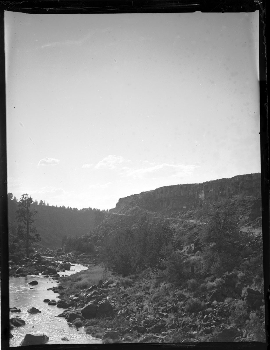
As we work our way back towards Hood River, it’s worth noting that our current state highway system took some time to develop. Traveling along this dirt road scratched into the canyon wall at 20 mph must have been a very rough experience compared to a modern era road trip. Though it’s more likely our intrepid band of travelers marveled at how easily they could haul their camping gear halfway across the state in their automobile, taking a summer trip their parents couldn’t have contemplated.
If you look closely you can see a rickety wooden bridge. There are still plenty of places you can go in Oregon for this sort of experience if you’re willing to get off the main highway. There’s still plenty of time to take a summer camping trip. Extra credit if you get there in a Model T.

Spinsur
Does that remind anyone else of Hwy 197 just north of tygh valley?
l.e.
That old pine tree on the left has escaped some flooding.
I think there is some detail in this photo that the photographer was trying to catch, that I can’t see.
James Holloway
That drainage is no doubt the Crooked River, so somewhere north or east or northwest of Terrebonne……or I suppose it could be the White River somewhere near Tygh Valley….but I’d place my bet on the Crooked.
Ellen Dittebrandt
I Think I.e. Is right on this one. I would also say Crooked River maybe above Billy Chinnock Dam.
monty olson
Just east of the current bridge over the crooked river. Was at very spot last year. Road looks very much the same