
Historic Hood River
Freshly Inundated
Notes
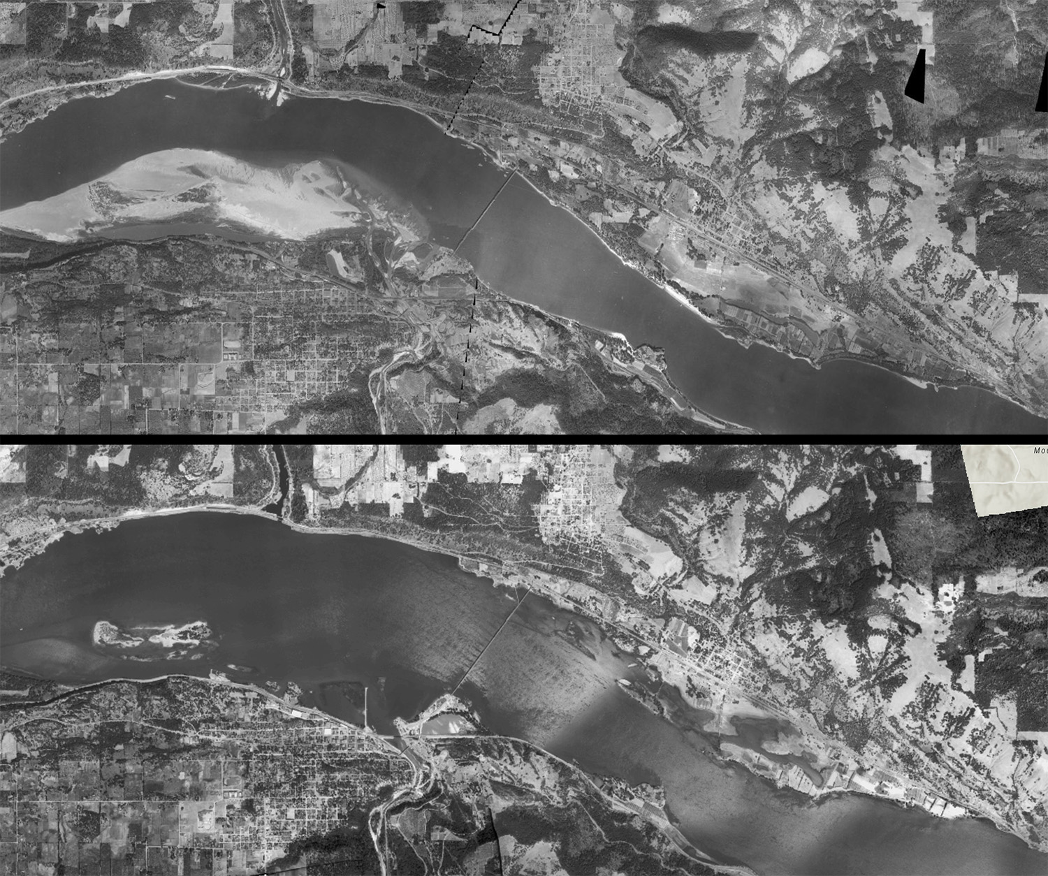
Between 1935 and 1939 the Hood River/Bingen/White Salmon waterfront changed dramatically. Lake Bonneville slowly filled, inundating everything below about 72.5 foot low water level, with the expectation of high water up to 91.5 feet. They acquired a flowage easement (right to flood) up to 96 feet.
The US Army Corps of Engineers commissioned aerial mapping of the entire basin in both 1935 and 1939, so now we can see the results of their dam building in great detail. If you’re patient and understand ArcGIS you can see all the way from Bonneville to the Dalles in 1935 and 1939. To make it easier, I’ve overlaid the images of our section of the river so you can swipe between 1935 and 1939 here. This image swiper works on mobile devices, but you’ll see a lot more if you view it on a larger screen.

L.E.
Very interesting. Thank you.
I did not realize there was that much bottom ground at Underwood before the inundation.
ArthurB
This comparison really opened my eyes to how much land was flooded by the dam, and how much it changed the habitat in the river deltas.