
Historic Hood River
Beach No More
12-2-2024
Notes
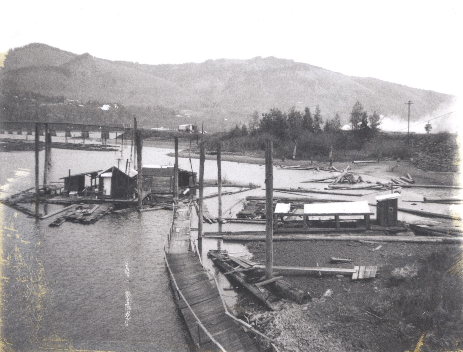
This isn’t a pretty picture, but I think it is the last view at an historic Hood River swim beach. Before the construction of the Hood River White Salmon Bridge in 1924 this stretch of sandy beach was a swim area, as seen in this image. I’m not sure when they started storing logs there, but it doesn’t look like a great place to swim anymore.
We know this picture is just before this area was filled to construct the Port Marina Park and Boat Basin about 1968. The clue is the new toll booth is visible. Probably within the year all this was covered with sediment dredged from the Columbia River, and kids are now playing soccer here.

Jeffrey Bryant
The log raft likely belonged to my uncle Bob Vaughan.
L. E.
Do you know what this area looked like after the 1964 Christmas Flood?
ArthurB
L.E., I know the 1964 Christmas flood was a major local event but did it affect the entire Columbia River system?
Cecelia Goodnight
It was considered a 100 year flood and definitely affected the entire Columbia River system. https://en.wikipedia.org/wiki/Christmas_flood_of_1964#:~:text=Considered%20a%20100%2Dyear%20flood,Humboldt%20County%2C%20California%2C%20alone.
L. E.
The December 24, 1964 Oregonian reports Hood River has lost half its water supply and a train bridge has washed out.
Also reported that two National Guard trucks were loaned to HR for snow removal.
The West Fork fish hatchery was flooded.
I haven’t found anything yet about the Hood River itself.
I can remember hearing the students at Welch’s school were kept there for safety.
Thorn
Approximate location today:
https://maps.app.goo.gl/iCrVK8pVFjkXbHmcA
Arthur Babitz
Makes sense, LE, the Mt. Hood RR bridge is barely above flood stage and threatened by every flood event. The city water supply in that era had several places it was at risk. We think the rebuild around 2010 time frame addressed those, but it hasn’t been tested yet.